

Palisades Tahoe Trail Maps
Explore the Palisades Tahoe trail maps to see all that our mountains have to offer.
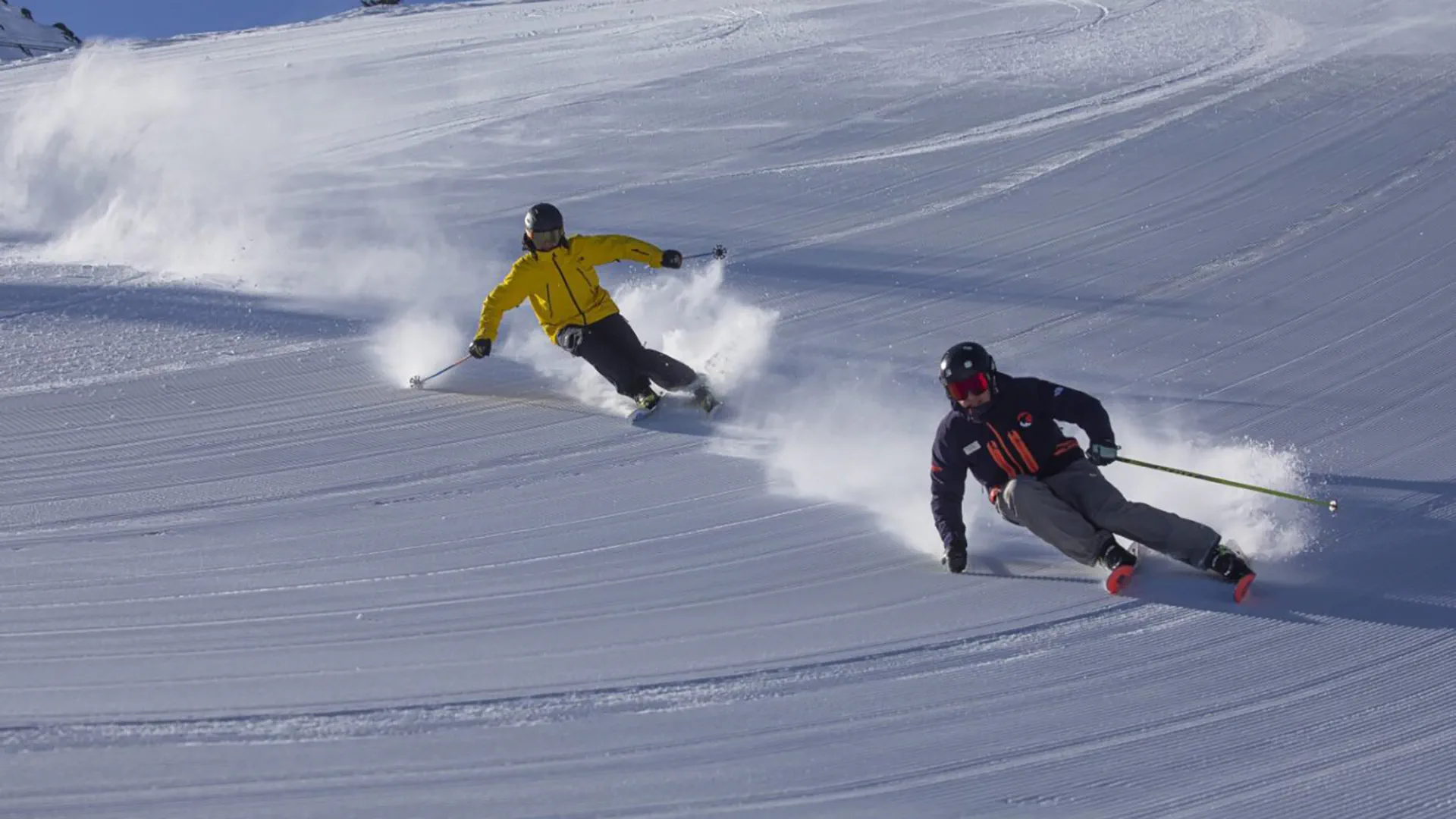
Palisades Tahoe is the home of Lake Tahoe's best terrain.
rich-text, responsive-table
How To Use our Winter Interactive Map
Click the pink-colored "layers" icon in the top right corner. Here, you can pick what you want to display, including lifts, open lifts, beginner/novice trails, intermediate trails, advanced trails, terrain parks, and recently groomed trails.
rich-text, responsive-table
Click the pink-colored "layers" icon in the top right corner. Here, you can pick what you want to display, including lifts, open lifts, beginner/novice trails, intermediate trails, advanced trails, terrain parks, and recently groomed trails.
rich-text, responsive-table
-
carousel-component
-
carousel-component
-
carousel-component
-
carousel-component
-
Download the Palisades Tahoe mobile app to use interactive summer hiking maps, find your friends on the trail, and track your stats. See bottom of this page to download the full hiking trail map pdf.
The Thunder Mountain Trail and the Western States Trail, excluding the portion that is currently closed for gondola construction, will remain open. The hikes from High Camp on the upper mountain will remain open as well and can be accessed via the Aerial Tram (subject to closure pending conditions).
rich-text, responsive-tablecarousel-component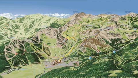

You Might Also Like

Mountain Safety Policies
Please take a moment to read this policy to ensure your safety while visiting Palisades Tahoe.

Lift Status
Check on real-time lift and grooming status at Palisades Tahoe.

Mountain Courtesy Policies
Please be mindful of your fellow skiers & riders by adhering to Palisades Tahoe's guidelines.